Inishmore
10
8
8
7
3
English
Beach
History of Inishmore, Ireland
Inishmore, also known as Árainn or Inis Mór, is the largest of the Aran Islands located off the coast of Galway in Ireland. The island has a rich and fascinating history that dates back thousands of years.
The earliest known inhabitants of Inishmore were the Celts, who arrived in Ireland around 500 BC. They established a settlement on the island and lived there for centuries. During the early medieval period, Christianity arrived on the island, and several monastic communities were established.
In the 12th century, the island came under the control of the O'Brien clan, who built several fortifications, including the impressive Dun Aonghasa. This stone fort, which dates back to around 1100 AD, is still standing and is one of the most popular and mysterious tourist attractions on the island.
In the 16th century, Inishmore became part of the English crown, and the island experienced significant changes. The English introduced new laws, customs, and religions, which gradually replaced the traditional Gaelic way of life.
During the 19th century, Inishmore was hit hard by the Great Famine, and many of its inhabitants emigrated to the United States and Canada. In the early 20th century, the island became a center for the Irish language revival, and today, it is still one of the few places in Ireland where Irish is the primary language spoken.
Why the Aran islands are a must
I believe the memories that stick with you are the most important. I remember my trip to Ireland, but my most vivid memories are from my stay on Inishmore. Now this island is not the place for eating out, shopping, or sitting down at a cafe, but it is the place for some of the most breath taking views imaginable. Most people are only able to do a day trip as there are not many places to stay the night, we were fortunate enough to find an airbnb on the western part of the island. The best part of the this airbnb besides the free breakfast, was how close we were to Dún Aonghasa. It was only a 15 minute hike up the hill and we were there.
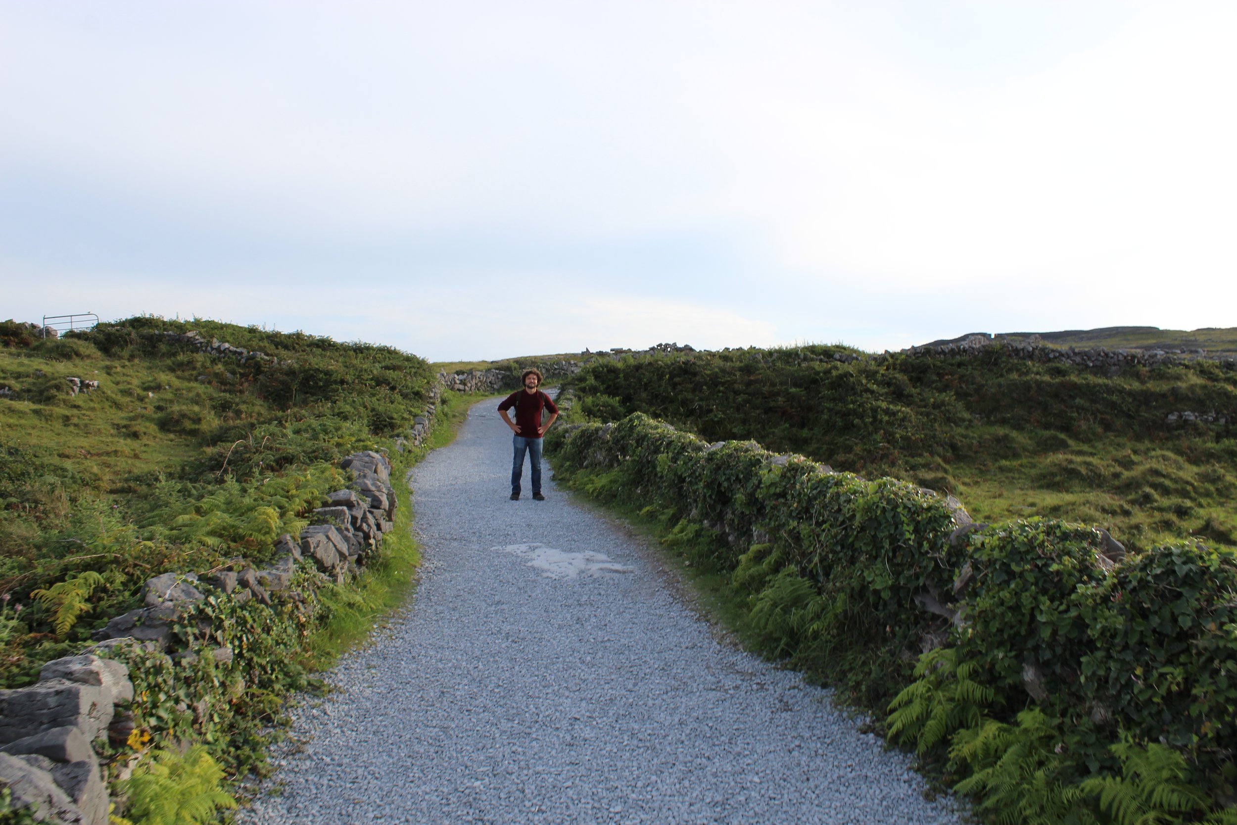
The hike was not like a hike through the woods, every where around you was rolling hills or stone fences. As you traveled higher and higher the view became increasingly vast and breathtaking. We were able to go up this trail when it was sunny and dry, which seemed like a huge benefit. It was clear from the erosion on the rocks that rain was common, all that rain smoothed the stones out quite a bit. So I am no expert but if you do take this trip and the ground is wet, watch your step because some sections look like they get dangerously slick.
Looking at the picture to the right, you can see the stone walls covered in greenery. Those plants are not just for looks, the entire path is actually lined with black berries. Now are you allowed to eat the black berries? I’m not sure. Did I eat a couple handfuls? Yes I did. This also enforces my warning of the slick sections. I would hate to fall onto some jagged rocks and roll into a black berry bush. I’m sure it has happened to someone, just don’t let it be you.
Transportation in this area can feel intimating at first, after all it is a big island for walking, and there are no cabs to call. If you do want to get around though there are bike rental shops on the islands, and they will even have someone drop the bikes off to you. All the rentals are on the east side of the island, so having them dropped off was a life saver. Those bikes were vital to our journey around the island when you got them the first stop we made was a path to the worm hole. That sounds very ominous but the wormhole is actually a natural rectangular whole that has been carved out of the rock. My explanation is poor, but if you want to know the details of this amazing landmark check out the article linked. (The Serpents lair).
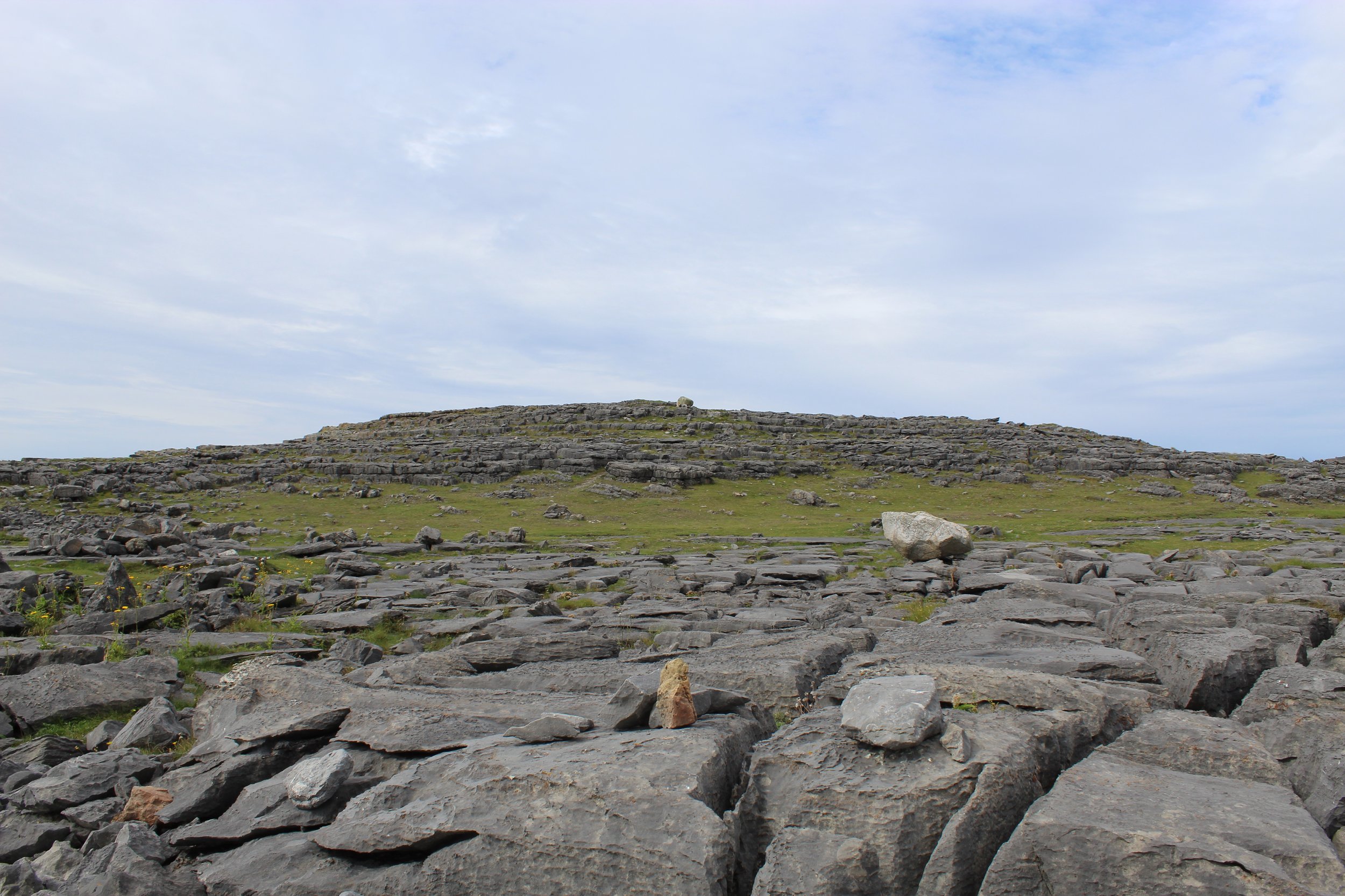
Here is another example of the fact that you are really on your own when it comes to traveling on this island. If you would like to know the official way to get to wormhole, so would I. There are a couple ways to make your way to this attraction. I go into detail in the article above, but the way we did it was probably not the best idea. We may have rode our bikes into the many sections of stoned in fields, and we may or may not have scaled up the side of a steep hill and climbed over another fence. The image to the right is what we saw as we made our way to the coast. Honestly the hardest part of finding it is getting to the coast, once there you either walk one of two ways.
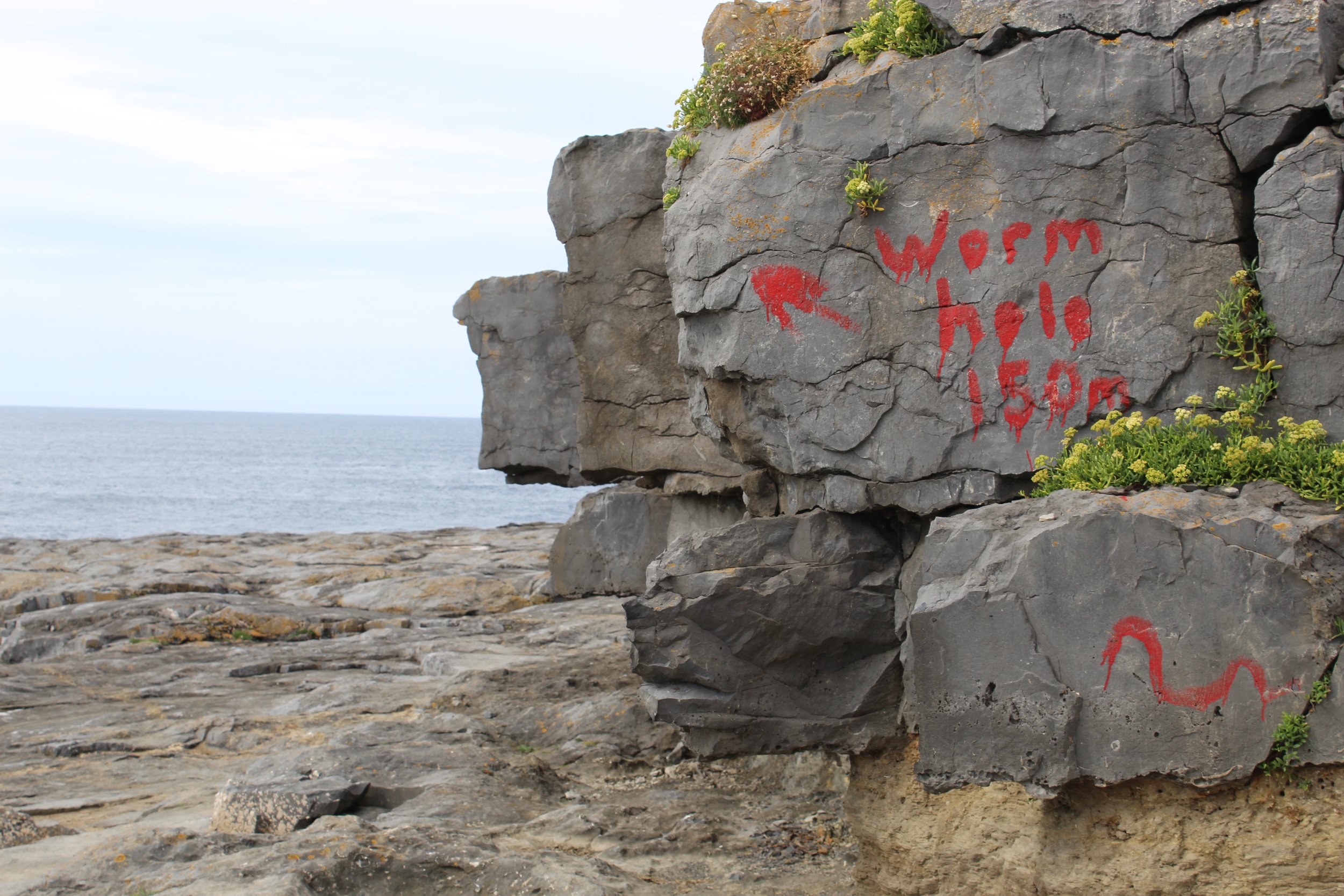
Now when you read articles about this trip a long the coast you will see things that say “look for the signs”. To the left are what the signs look like, so don’t go looking for street signs because unless somebody moved onE there and painted on it you won’t find one. I know we spent a decent amount of time researching this and we read so many articles about how to get there. All I can say is these paths are not marked and unless you are seeing people walking to them, good luck. It seems easy to get to the coast, just walk… the issue is people have homes blocking the path to the coast line so finding a little trail to the edge is difficult. That difficulty did add to the trip though, because it just felt like you
were an explorer the whole time, climbing up rocks, walking across rugged terrain and not having a rigid path to follow. There are plenty of little caves you can walk into and lots of locations for some great photos a long the trip. We took the lower path which got us close to the worm hole, the higher up path, (as you can see in the picture to the right) is the cliff above summer. We saw a couple people there and I think they missed out on seeing the wormhole up close. Now also in the picture you can see all those little pools of water, well each one has a lot of life, a lot of slippery life. So as cool as they look do not jump over them or you will probably fall into some really funky water. The main event though is actually just beyond where she is pointing and it quickly becomes a steep drop into the ridiculous looking natural pool. If you don’t already know this a Redbull diving competition was actually held here and you can still see all of the bolts and holes drilled into the surrounding rocks. From a picture it just looks like a rectangular hole, but in person this is honestly a very surreal experience. A combination of fear from the height and astonishment from the fact that this is a completely natural structure.
In the image to the right, you can see an area that is believed to be altar; believe is a key word here because this structure is so ancient, historians have little idea what it may have been. The picture to the right shows Summer looking over the 330 ft drop to the ocean below. If you also look in the top left corner of the picture, you can see a small fence that doesn’t even block off the cliff edge. There are no guards, guides, or help. You are truly up here alone (this is why I recommend spending the night, you can go later in the day and avoid the tour boats). Due to my curiosity I immediately googled and confirmed that over 15 people have fallen to there death here. So be careful, Summer and I decided we needed to see the edge so we laid down and crawled while trembling.
The last part of our journey was using those bikes to travel all the way to the east side of the island. Now let me tell you something important, the rental company gives you a map, on the map there are 2 paths around the island, one of those paths says “advanced bikers”. Do not take this path, we found out very quickly that we were not advanced. The other paths are actual asphalt, This path was an uphill battle on gravel and dirt. The main issue was the fact that some rocks were so big you couldn’t just casually ride you were actively avoiding obstacles while trying to catch your breath. Surprisingly I am glad I did this path because I was able to get a view of the island that was really amazing. From the height we were at you could look out and see both coast lines, you could really see just how small Inishmore was.
Yes my butt may have been bruised and my arms were tired, but the view was worth it. After we made it across the top of the highest point of inishmore we made our way down hill into the town. From there we were able to drop off our bikes and get something to eat. All of the places around the port are actually pretty good, they even had a small cart selling fudge. I can’t say I spent much time in the stores but I did stop into the markets selling wool clothing. I most definitely would have purchased one, but the price tag was a little out of my range. Each sweater (as long as it was hand made) actually had the signature of the person who crafted it.
I know there was a lot of information thrown out here, so if you have any take away from this article, let it be to visit Inishmore. The ferry ride over, the exploration of the remote sections, and the goal of finding these landmarks by ourselves, really made this trip worth it. Pack some snacks, water, and take plenty of pictures because this will be the highlight of your trip to Ireland.
When you get to the final stretch of the hill, you will be greeted with a wall of stone and a small entrance. When making your way through the ruins, you will be surrounded by some of the most green and lush grass you will ever see. That is not an exaggeration, I personally have never witnessed natural growing grass so healthy and vibrant. The wind is blowing by and at this height it feels so crisp and clean. When I finally made it into the center section, right on the edge of the cliff face, that is where this islands natural beauty really hit me. - Disclaimer, as enticing as it is to roll around in this grass, it is absolutely brimming with TICKS. Summer found this out the hard way and we had to pick tiny ticks out of her hair. DO NOT DO IT.


